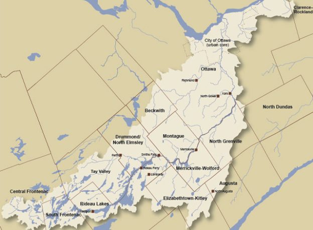
The winter of 2020-21 is quickly coming to an end. After a mild start, February brought cooler temperatures. The watershed saw a significant rain event in late December, followed by below normal precipitation in January and above normal precipitation in February. Current conditions recorded at several RVCA and Parks Canada snow course sites are indicating normal water content amounts in the snow for this time of year. In general, water levels on lakes and flows in the streams are presently below normal for this time of year.
The current short-term weather forecast indicates a warm week ahead with daytime high temperatures well above zero from Tuesday through at least next weekend and night-time low temperatures also above zero on Wednesday and Thursday. The forecast indicates some but no significant precipitation this week.
If the temperatures come as forecast, a significant amount of the snow is expected to melt across the Rideau Valley watershed which will make water levels and flows rise quickly and may result in flooding for low lying areas along all waterways, especially near small creeks and streams. Parks Canada staff who manage the water levels for the Rideau Canal have indicated that the levels in lakes are expected to rise in the upper watershed lakes as the snowpack begins to melt.
City of Ottawa crews have begun the annual ice removal program on the Rideau River between Rideau Falls and Bronson Avenue. Crews will work to keep the ice from reforming until the spring freshet occurs (for more information: City of Ottawa information at 311).
With the rising water levels that can be expected over the coming weeks, ice cover on lakes, ditches, local streams, and rivers will be unstable. Extreme caution should be exercised by everyone when near local waterbodies. Parents should inform their children of the risks and provide appropriate supervision.
Residents in flood-prone or low-lying areas, historically susceptible to flooding, should take the necessary precautions to protect their property, such as:
- Ensuring sump pump is clear, in good working condition and has a backwater valve
- Ensuring easy access to a portable backup generator and pump
- Ensuring downspouts are clear and the outlet is at least 3 metres from the dwelling
- Securing items that might float away as flows increase
- Removing valuable items from basements or lower floors that could be subject to flooding
- Keeping emergency phone numbers handy
- Familiarizing yourself with your municipality’s Emergency Preparedness Plan
This watershed conditions statement is in effect until March 31, 2021, at 5 p.m. and will be updated at that time unless the forecast or conditions change.
Article submitted